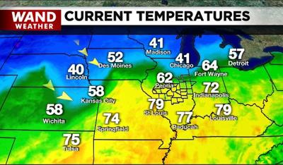

DECATUR, Ill. (WAND) - Compact, albeit intense, thunderstorms that formed earlier Friday afternoon and evening are now winding down and moving farther north. These storms will linger and south of a warm front that allowed us to peak in the 70s to near 80 degrees with a dose of high humidity.
Tonight will remain warm with a gusty wind. However, more storms are forming with a cold front to our west. While these storms may produce strong winds with isolated damage and hail, no tornadic activity is expected. Nonetheless, if you are a light sleeper, this could be a rude awakening.
After a wet start to Saturday, some sun will return with yet more wind (go figure!) Said sunshine won't warm things up this time around. The air in the wake of the cold front will allow temperatures to fall into and through the 50s during the day. Temps in the 30s will become commonplace waking up Easter morning with feelslike temperatures in the 20s. Brrrr!
Stay weather aware, and stay warm. Happy Easter.
Copyright 2026. WANDTV. All Rights Reserved.


